About the Park
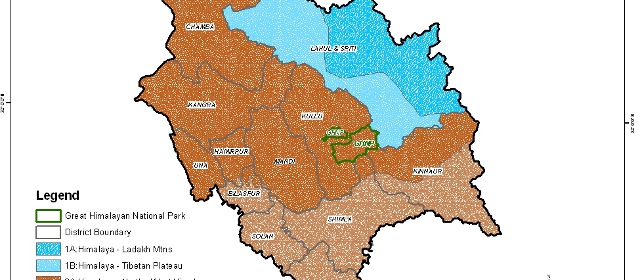
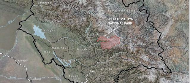
Maps
GHNP Coordinates
Latitude : N 31 38 28 to N 31 54 58
Longitude: E 77 20 11 to E 77 45 00
GHNP Meadows/thatches
| Name of thatches | (Altitude in m) | Co ordinates (N) | Co ordinates (E) |
|---|---|---|---|
| Tirth | 3721 | N31042’14.0” | E77037’35.2” |
| Nadda | 3225 | N31042’14.0” | E77031’256” |
| Gumatrao | 3508 | N31042’54.8” | E77029’36.3” |
| Dhel | 3544 | N31045’10.6” | E77028’052” |
| Shakti village | 2269 | N31047’21.3” | E77029’0.98” |
Maps of GHNP
Vistas of GHNP from Lambri Jogni/Thatch (view from elevation of 11,000 feet)


